VALOR Live Map
An interactive map of Lowndes County that includes parcels, addresses, flood zones, zoning, utility service areas, and so much more.
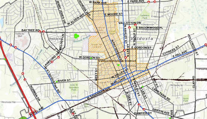
Valdosta-Lowndes-Regional GIS
An interactive map of Lowndes County that includes parcels, addresses, flood zones, zoning, utility service areas, and so much more.
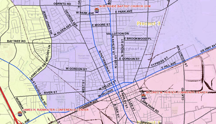
Find out where to vote!
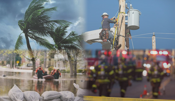
Info for before, during, and after a disaster
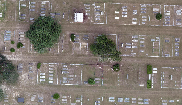
Search for a someone in the cemetery or search for lots by owner.
Several maps are available for download below, but you can also request a custom map or GIS data by contacting us.
Geography matters to all of us. What we each know about our geography makes a difference in the decisions we make each day: which route we take to work, where we vacation, where we shop, and where we choose to live. Each one of us knows something useful about our geography. Sharing what you know with someone can impact the decisions they make too.
Expanding on that principle, our local governments deliver vital services such as public safety, utilities, sanitation, elections, community development, recreation and the list goes on. These are tasks that are taken seriously and it calls for the best information in order to make the best decisions. Access to geographic information is just a click away on desktops and mobile devices around the Valdosta and Lowndes County governments' offices. This gives hundreds of decision-makers and staff around our community access to a variety of geographic information. Just about anything you might run across in your daily travels across our community has been mapped and is being maintained in the VALOR-GIS database.
The Valdosta-Lowndes Regional (VALOR) Geographic Infomation System project is a way in which our local governments and their departments create, manage and share geographic information about our community with each other and with you.